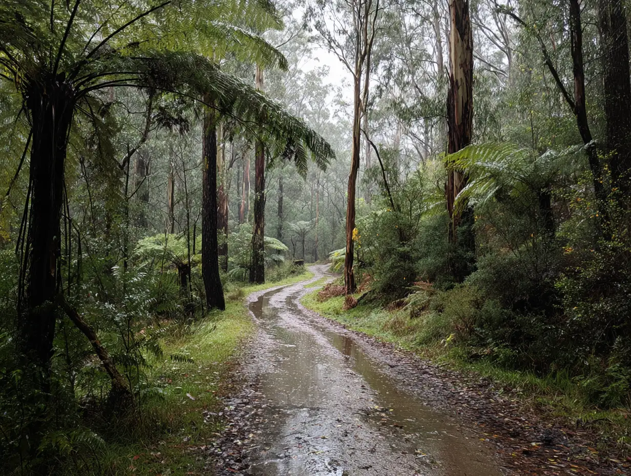
The Otways is crisscrossed with tracks from 150 years of logging, farming, and people generally trying to get from A to B through pretty unhelpful terrain. Old tramways, logging roads, fire trails, 4WD tracks – they’re all out there waiting to be explored. Some are maintained walking trails now, others are rough as guts and need a proper 4WD, and plenty are somewhere in between.
The Old Beechy Rail Trail following the old Colac to Beech Forest railway is the most obvious track around here. Already covered it in the mountain biking section but it’s worth mentioning for walkers too. The railway closed in 1962 and they pulled up the tracks, but the formation remains. Gentle gradients (trains don’t like hills), historic trestle bridges, and you can cherry-pick sections depending on how far you want to go.
The Ferguson to Beech Forest section is the pick for walking – about 7km through proper forest. The Gellibrand to Kawarren stretch is all farmland if you prefer open country. You can walk, ride, or even horse ride some sections. Just remember it’s not continuous – roads and private property have broken it up over the years.
Before trucks, they used timber tramways to haul logs out of the forest. Narrow gauge railways snaking through impossible terrain. Most are overgrown now but you can still follow them if you know where to look. The tramway from Triplet Falls to Beech Forest is walkable but unmarked – about 7km of rough track through the forest.
The Aire Valley had a massive tramway network. Some bits are now walking tracks, others are just impressions through the forest. You’ll see old cuttings, collapsed bridges, the odd bit of steel rail poking through the leaf litter. Following these gives you a different perspective on the forest – you’re seeing it how the timber workers did 100 years ago.
Young Wives tramway near Triplet Falls is another one you can follow for a bit. Not maintained, gets overgrown in summer, but it’s there if you’re feeling adventurous. Just don’t expect signs or formed tracks – this is proper bush bashing territory.
The Otways has some quality 4WD tracks if you’ve got the vehicle for it. Mount Cowley Track is the accessible one – runs from Wye River up to Mount Cowley. Steep in places, gets muddy after rain, but nothing too technical. The views from the top are worth the drive – can see all the way to Lorne on a clear day.
Aire River to Johanna Beach via Red Johanna Road is a ripper when it’s dry. Sandy in places, few creek crossings, and you end up at one of the wildest beaches on the coast.
Turtons Track network around Forrest is where the local 4WD club plays. Some of it’s easy fire trail stuff, other sections will test your vehicle and nerve. Track conditions change constantly – what was easy last month might have washouts or fallen trees now. Check with the Forrest shops for current conditions.
Parks Victoria and DELWP maintain hundreds of kilometres of fire trails through the forest. Most are locked but some are open for public use. These aren’t tourist drives – they’re rough, unsigned, and you better know where you’re going. But they access parts of the forest most people never see.
Binns Road runs from Beech Forest toward the coast. Rough as anything, barely wide enough for a vehicle in places, but takes you through stunning forest. You need a proper 4WD and recovery gear because if you get stuck, you’re walking a long way for help.
The Ridge Road from Apollo Bay to Forrest is mostly sealed now but the old sections that branch off are still rough tracks. Some lead to hidden waterfalls, others to old mill sites. Half the fun is not knowing what you’ll find. Just remember to download offline maps – phone reception is non-existent and these tracks aren’t on Google Maps.
There’s dozens of rough tracks down to hidden beaches along the coast. Some are official, most aren’t. Castle Cove has a rough 4WD track down if you don’t want to walk. Wild Dog Track near Wye River gets you to a beach hardly anyone knows about. Sunnyside Track near Aire River is another one locals use.
These coastal tracks cop a hammering from weather. Winter storms wash them out, summer tourists dig them up. What was driveable last year might be walking-only now. The ones through private property need permission – don’t be that tourist who ignores the signs then wonders why a farmer’s angry.
Besides the official Forrest trails, there’s loads of unofficial tracks mountain bikers have built or adopted. Old logging snig tracks make perfect singletrack. Fire trails that aren’t maintained become fun technical challenges. The locals know them all but they’re protective about locations – too many riders wrecks tracks.
Track conditions change constantly here. One decent storm can bring trees down across every track in the forest. Fire trails that were fine in summer become impassable bogs in winter. That’s part of the adventure but also why you need to be prepared.
Never drive on closed tracks. If there’s a locked gate or closed sign, it’s for a reason – maybe unstable trees, maybe protecting regenerating forest, maybe saving the track from damage. Getting caught on a closed track means fines and makes it harder for everyone else to get access.
The “tread lightly” thing actually matters. Stick to formed tracks, don’t cut corners, don’t spin wheels for fun. These tracks exist because users proved they could look after them.
If you open a gate, close it. If you find a tree across a track, report it to Parks Victoria. If you get bogged, don’t destroy the track trying to get out – get help. And carry recovery gear if you’re going remote – snatch strap, shovel, maxtrax, whatever. Self-sufficiency is expected out here.
Otways Tourist Park is nestled in Gellibrand, a short drive from the charming rural townships of Colac and Forrest, Victoria. Otways Tourist Park is a welcoming destination – perfect for those looking to unwind, slow down, and reconnect with nature and loved ones.
Nearby attractions include the world-famous Great Ocean Road, waterfalls, rainforest walks and the Otway Fly Tree Top Walk.
The park is also conveniently located within easy reach of popular destinations like Apollo Bay, Lorne and the Twelve Apostles, making it an ideal base for exploring the spectacular Otway Ranges and Surf Coast region.
